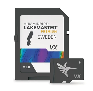
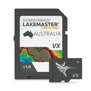
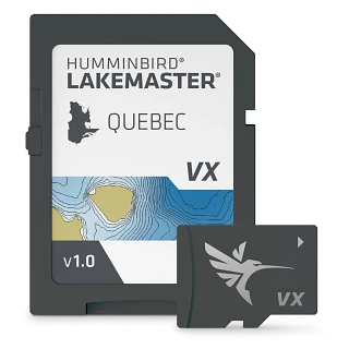
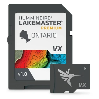
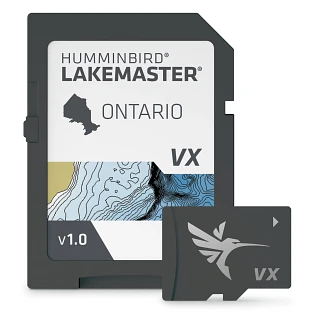
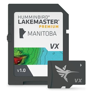
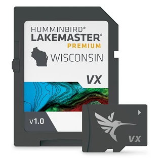
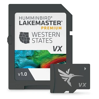
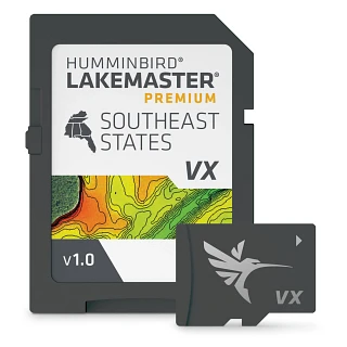
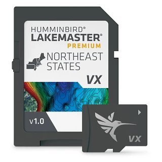
Detailed fishing maps and navigation charts make it easier to understand the water and move with confidence. View depth contours, identify underwater features, navigate unfamiliar areas and zero in on locations that fit how you want to fish.
Whether you're exploring a new lake, returning to a favorite spot or navigating coastal waters, mapping adds useful geographic and underwater context to your fish finder. Choose from freshwater and coastal cartography, or create your own maps from time on the water, so you can spend less time figuring out where to go and more time fishing.
Choose the Right Mapping for How and Where You Fish
Different waters call for different mapping tools. Choose the coverage and detail that fit where you fish and the information you want at your fingertips on a compatible Minn Kota fish finder.
- Freshwater Fishing Maps: Explore detailed lake maps and depth contours to better understand underwater terrain and identify promising areas.
- Coastal Navigation Charts: Navigate coastal and nearshore waters with mapping information designed for saltwater environments.
- Custom Mapping: Record sonar and GPS data as you travel to build personalized maps of the water you fish.
- Depth and Contour Information: Use detailed contours to identify drop-offs, points, channels and other depth changes that can help you zero in on fish-holding areas.
- Fish Finder Integration: Keep compatible mapping alongside sonar, waypoints and navigation tools on your Minn Kota fish finder for a clearer, more connected view of your day on the water.
Create Custom Fishing Maps with AutoChart Live
AutoChart Live, powered by Humminbird Imaging™, lets you build custom fishing maps directly from compatible equipment. As you move across the water, it uses sonar and GPS data to record depth contours and create a more detailed view of the area.
Custom mapping is especially useful on waters with limited existing coverage or when you want to capture more detail from places you fish often. Save what you learn, return to productive areas and build a clearer picture of the water over time.
Frequently Asked Questions
What information can fishing maps show?
Fishing maps can show water depth, depth contours and underwater terrain. Depending on the map and coverage area, that detail can help you identify points, drop-offs, channels and other features as you navigate and look for places to fish.
What is the difference between a fishing map and a navigation chart?
Fishing maps emphasize angler-focused details such as depth contours and underwater features. Navigation charts provide geographic and navigational information for traveling on the water. Some mapping products combine both types of information to help you navigate and fish with greater confidence.
Can I create my own fishing maps?
Yes. AutoChart Live, powered by Humminbird Imaging, uses sonar and GPS data collected as you travel to create custom depth-contour maps. It can add useful detail for waters with limited existing coverage and help you build knowledge of places you fish regularly.
Can fishing maps help me find underwater structure?
Fishing maps can reveal contour changes and underwater terrain associated with points, drop-offs, channels and other areas of interest. Sonar can then give you a clearer view of structure and fish, helping you make more informed decisions on the water.
Are fishing maps available for both freshwater and saltwater?
Yes. Mapping options are available for freshwater, coastal and nearshore fishing. Coverage and detail vary by product and geographic area, so review the individual map coverage before choosing the best option for where you fish.
How do I know which maps are compatible with my fish finder?
Compatibility depends on the Minn Kota fish finder and mapping product. Review the compatibility details and coverage information for both before choosing a map or chart.