MINN KOTA™ MAPS
Minn Kota Maps help you understand the water, plan smarter, navigate confidently, and stay on fish, all built on the trusted data of LakeMaster® and CoastMaster®.

Understand the Water Before You Cast
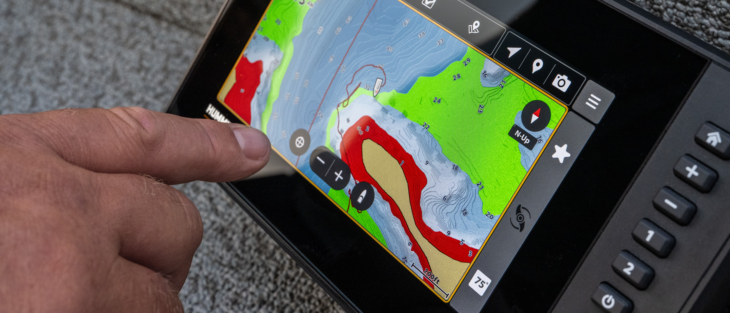
Know exactly where to go, how to get there, and where to fish. Innovative features like shallow water highlights and water level offset let you highlight productive depth ranges and adapt to changing water conditions so you can quickly find areas that hold fish.

Navigate With Confidence
From inland lakes to coastal flats, Minn Kota™ Maps provide fishing-focused details like 1-foot depth contours, customizable color palettes, enhanced aerial imagery, and 2D shaded relief that help you make smarter decisions every time you fish.

Get More From Your Fish Finder
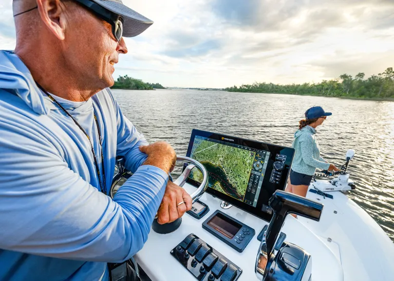
Minn Kota Maps help turn your compatible Minn Kota or Humminbird fish finder into a central control center, bringing mapping, sonar, routes and waypoints together in one place.

One Seamless Fishing System
Mapping that integrates with your entire system. Whether you’re planning routes and managing waypoints in the Minn Kota™ Fishing App, or using smart features like Draw & Navigate™ and Intelligent Depth Control™, you can stay focused on the fishing.
MAPS BUILT FOR THE WAY YOU FISH