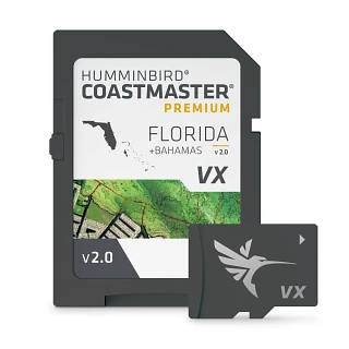
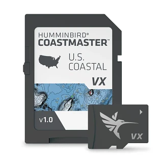
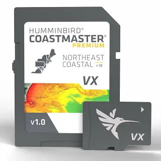
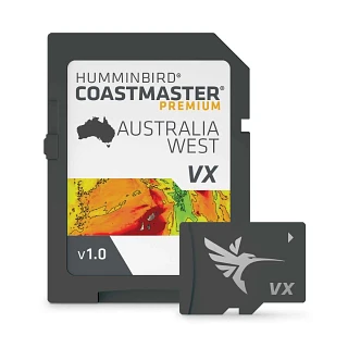
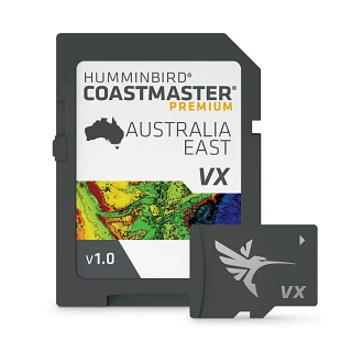
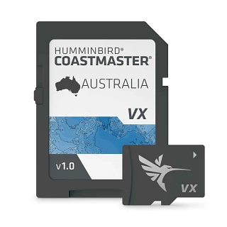
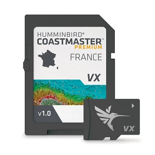
CoastMaster provides detailed coastal fishing maps designed to help saltwater anglers better understand the waters they fish. View depth contours and coastal features, identify areas of interest and use available mapping tools to plan your approach on the water.
With coverage for coastal waters and features designed specifically for saltwater fishing, CoastMaster provides mapping information and customization options directly on your compatible fish finder.
CoastMaster Mapping Features
Depending on your CoastMaster map and compatible fish finder, available features can include:
- Detailed Depth Contours: View depth changes and bottom features to identify ledges, drop-offs, flats and other areas of interest.
- Tide & Current Information: Access available tidal and current information to better understand changing coastal conditions.
- Custom Depth Shading: Highlight selected depth ranges to make areas relevant to your fishing easier to identify.
- Shallow Water Shading: Highlight shallow areas for greater awareness while fishing and navigating.
- Navigation Tools: Use compatible GPS features to create waypoints, routes and tracks while exploring coastal waters.
Frequently Asked Questions
What is CoastMaster?
CoastMaster powered is coastal fishing mapping designed for saltwater anglers and compatible fish finders. CoastMaster maps provide detailed depth contours, coastal mapping and fishing-focused features to help anglers understand and explore the waters they fish.
What areas do CoastMaster maps cover?
CoastMaster provides mapping coverage for coastal waters across regions of the United States, including Atlantic, Gulf of Mexico and Pacific coastal areas. Coverage varies by mapping product, so check the available CoastMaster coverage before choosing a map.
What information is available on CoastMaster maps?
CoastMaster maps can provide detailed depth contours and coastal mapping information along with fishing-focused features such as depth shading and available tide and current information. Specific features vary by CoastMaster product and compatible fish finder.
Which fish finders are compatible with CoastMaster maps?
CoastMaster compatibility depends on the mapping product and fish finder model. Check the specifications for your fish finder and individual CoastMaster map to confirm compatibility.
Can I customize depth shading on CoastMaster maps?
Available CoastMaster depth highlighting features allow you to emphasize selected depth ranges on the map. This can make it easier to identify depths and areas that are relevant to how and where you're fishing.
Can CoastMaster maps be used for boat navigation?
CoastMaster provides coastal mapping information that can support fishing and navigation on the water. CoastMaster fishing maps should not replace official navigation charts, navigational aids or safe boating practices.